11/2/19
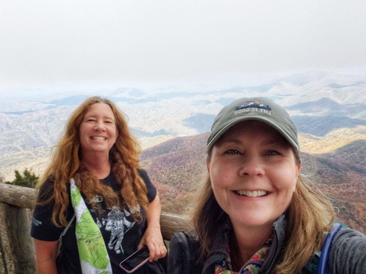
Sherri and I
Today is the big hike! It’s over an hour from where we stayed in Cherokee back towards I-40. The cars in the lot are frozen this morning! We didn’t know how to dress. We checked out and headed through Maggie Valley where we stopped at pancake house and chowed down on, yep pancakes!
We followed the GPS to Crosby Campground where we hopped on the Low Gap Trail. I have a love hate relationship with up hikes! I can take them for a bit then get annoyed and want to hurry up and finish. Sherri says it’s because I spend a lot of hiking time doing scrambling, rock hopping and water falling hikes. I think so too. Those are more instant gratification and adrenaline hikes. But after I finish the uphill hike I’m always super excited!
 This trail was about 6 miles up. Long switchbacks and absolutely nothing level. We both struggled a bit. We stopped quite often at first. This trail was so weird. We would go from hot to cold with every turn. There was snow/ice on one side. Very wet. It was so cold there. Then we would turn the corner and start taking off layers! We did this for most of the 5 miles! It was a really beautiful hike.

 At about 3 miles we made a left on the Appalachian trail. If we went right it would go to Crosby Shelter. I would like to check it out but to the top first!


The colors and the views were awesome. We ran into snow/Ice just below the AT intersection


It was super cold at this intersection. Jacket back on. 😁 We meet some women from Canada and they were cold too!🤣
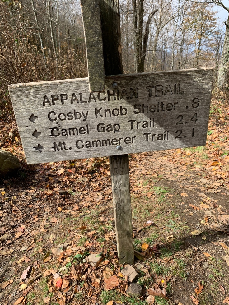
Now this sign says 2.1 but I don’t believe it. I heard other hikers say it was wrong too. According to my tracker we did about 1 mile longer than the signs. 🤷♀️
The views on the AT only got better. The trail was still steep for another mile or so then it became kinda level along the ridge line.


I have the altimeter app. When we were here we were at

We understood that there would be a spur trail to the fire tower. It did not work that way exactly. The trail to the top went straight and the AT went right.

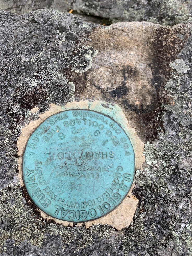
At the end it was large rocks to climb up and over and then….. the top! It was Gorgeous! 360 degree views. There were quite a few people up there and believe it or not I knew 2 of them! What a small world! They had come up a different trail and were just heading down as we came up. They were pretty surprised to see me to.

This is the inside. The plexiglass windows didn’t help the views but it was not windy and warmer in there.
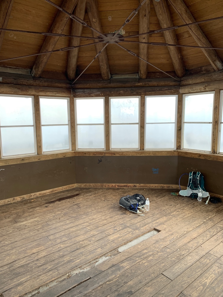


We had lunch in the tower. The 360 degree views were incredible. On one side it was cloudy, the other was clear below but if you can see in the pic above there was a thick line of the clouds above the clear area. It was spectacular! Uphill hikes do have their rewards but it takes a lot of effort!

Now it’s downhill all the way. The AT trail was a breeze with its great views but the Low Gap trail was steeper and had lots of rocks and roots.
I think it took us 4 hours to get up but just over 3 to get down! That’s quite a difference. We were just a getting it and Almost finished and she stops and says “what’s that? We didn’t go this way” it looked like an old abandoned building. It was actually an old water reservoir. We pondered for a minute went back to look at the sign that said Crosby Campground this way.
 Hmmm well when you are walking looking at the ground you miss a few things! Haha. We missed the trail back but turns out this one just goes deeper into the campground. When we got to the campground we could see people coming off the trail we went up on. No biggie. We headed back to the car and clocked this hike at 12.9 miles and just about 7 hours.
This was really a great hike. We both loved it. We still have to come back to the GSMNP and get Charlie’s Bunion. Third times a charm right? 🙃


As always, thanks for sharing the details of your hikes. What is the map cloth?
LikeLiked by 1 person
Map cloth? Idk I couldn’t find a typo?
LikeLike
❤ great blog. I had a great time. You know me, I love a view!
LikeLiked by 1 person