
April 8, 2018
Sherri and I
I have never heard of Graybeard Trail or the 3 Sisters range that is with it. Sherri picked this one because it had views and a waterfall. We decided to leave at 8 am to head on up.
She picked me up in her hot new Subaru! We were styling!We headed to Montreat NC. It was on the other side of Black Mountain.
Montreat was named this as a combination of Mountain and retreat. It is largely owned by the Presbyterian Church. They have a conference center and a wildlife sanctuary here and Graybeard Mountain is on their property but they allow people to hike there. Montreat was also where Reverend Billy Graham and his wife lived. The town has a population of 743 people and is a total of 2.7 square miles! How interesting is all that! I think the only other thing in the town is Montreat College.

This is the first thing you see as you come into Montreat. The road goes up past the conference center and the trailhead is right across from the wildlife santuary.

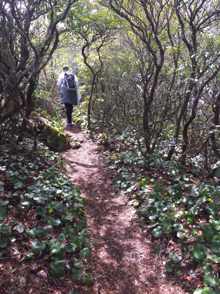
We found the trail head and headed up the trail. It mostly follows a rippling creek and passes through a lot of rhododendrons. This trail is basically a rocky, root filled trail, because if there are rhododendrons there are lots of roots, that basically goes straight up at a gradual pace. This trail has a 2450 elevation gain in about 4 miles. It’s highest elevation at Graybeard Mountain is 5408. That is Pretty high. It really didn’t have any switch backs for the first 1/3 of the trail.

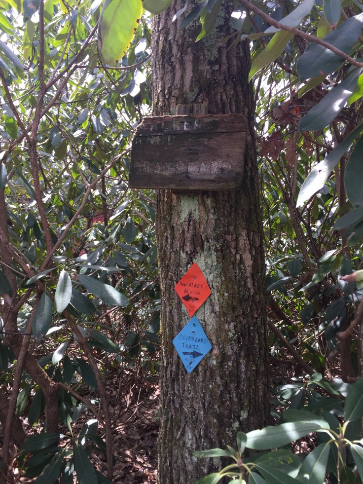
At the first intersection the trail takes a turn to the left and there is a sign saying this:

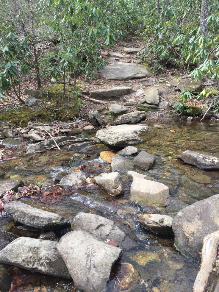
There are 3 creek crossings that are an easy rock hop across.

After about a mile or so the trail takes a turn at a campsite near the creek. We read that this was an old train track. There isn’t any thing that would prove this. There were no signs of tracks or railroad ties and sure did not seam wide enough for a train. It’s a flatter trail (not many rocks) but still at a gradual incline. This was by far the easiest part of this trail. There are rock walls along it. It also has switchbacks. Although I’ve never seen a mile long switchback but that’s what it was like!
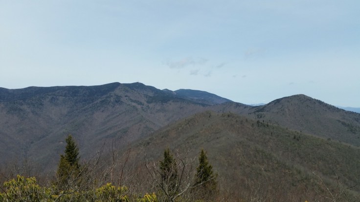
Along this part of the trail is views of the Blue Ridge Mountains. It is so awesome how they are so blue!


There are some trails that go off to the left or right but they are not really marked. The trail we are on was marked with blue blazes everywhere. I just loved this one that said Up!
There is a small waterfall about 200 ft off the trail called of course Graybeard Falls.

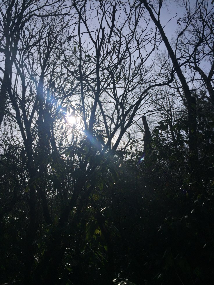
We continued up the trail and the trees changed a bit to more of a pine forest with dark dirt and pine needles on the trail. This was pretty cool.
Next we came to an intersection to the left that goes to Walkers Knob. We follow it past a shelter that was built up here. At this point we are about 4-4 1/2 miles from the trail head. How they got this built we have no idea! It was full of graffiti. I figure it was from the college kids.

 I just love the signs here. It says 5 minutes to Walker’s Knob not mileage. They also had an artsy Privy sign.
We head to the overlook and there is a pile of Rocks with a blue dog chain on it. We assume someone buried their dog here. That was kind of a downer. 😓
A short distance is Walkers knob. Basically 2 large rocks to get a view from. We were starving and had lunch here.

We can see snow on some of the mountains in the view. My peaks USA says it’s Black Balsam Knob.
After Lunch we head back to the intersection of Graybeard Trail and decide we will go to the top. I don’t think either of us really wanted to go but we came this far!
As hard as the trail has been this far, and it’s been hard, it was nothing compared to the last leg of the trail! The sign said 45 minutes to the top.
Graybeard Mountain is 700 ft above Walker’s Knob. That means ‘oh lord’. We walk stop, walk stop! It’s rocky and it’s quite difficult. I like to blame it on the elevation. But it really is steep. I’m wondering if 45 minutes includes stopping time!

I see a wooden fence and think yay! I’m here. We weren’t! This is where you can take the West Ridge trail over the 3 sisters ridge trail back down. It’s actually shorter but a lot more steep and treacherous.

I actually took a picture of my “geez this is hard” face. I’ll spare us all that one. As much as we hike I still have a hard time with going straight up. I’m just glad there were no steps! I hate steps!
After the wooden fence it is 1/10 of a mile to the end. This part is really flat compared to the rest. It dead ends at a couple of rocks just like the other one. This one is looking directly at Mount Mitchell.
We looked a bit then decided to head right back down. I think 1/2 way was about 5 miles so that means 5 or so miles down. Down was hard too. We decided this trail was similar to Table Rock SC. This one is higher and longer. Except it didn’t have any 2 ft rock drops. I basically have a way of judging a trail by a scale from 1 to Table Rock. Table rock being the hardest of course!
We climbed down down down the trail. Sherri remarked that this is the trail that never ends. 🙄
We really were wore out from the trek up. All totaled this trail ended up being 11 miles!

Views and a waterfall. I am actually starving again and really really want a soda!
Bye Montreat!

Leave a comment