
2/17/19
Sherri and I

We had 2 options today, a 4.7 mile loop or a 8.4 mile loop. Sherri gave me an address and I put it in my GPS. She thought it was the 4.7 but it was the 8.4! I think she really wanted to do a long trail! 🤣 My new favorite weather app is Weatherbug. It said that we were basically rain free today as opposed to the weather channel that said it was gonna rain all day. Weatherbug was right on target! We had some sprinkles but no real rain.
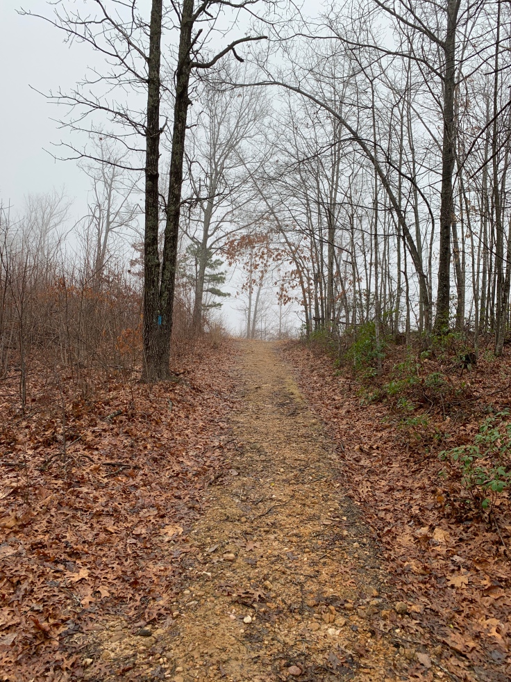
The road to the trailhead was right off I-26 and looked like this!

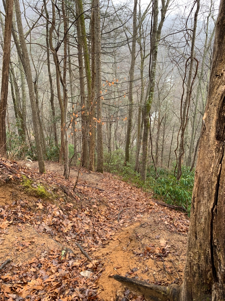
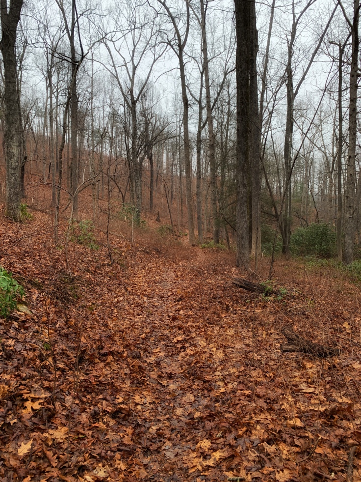
It took us to a trailhead right in front of Wilderness Cove tubing. We parked across the river and headed up the trail called Green River Cove Trail. This trail followed the Green River for miles. The trails were very well maintained and very well marked. The river has a green tint to it. It really is green.

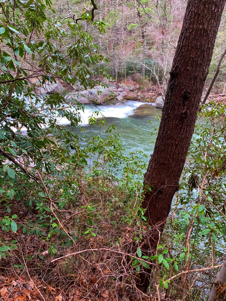
After a bit we could see and hear some rapids on the river. We got off trail a couple times to look.


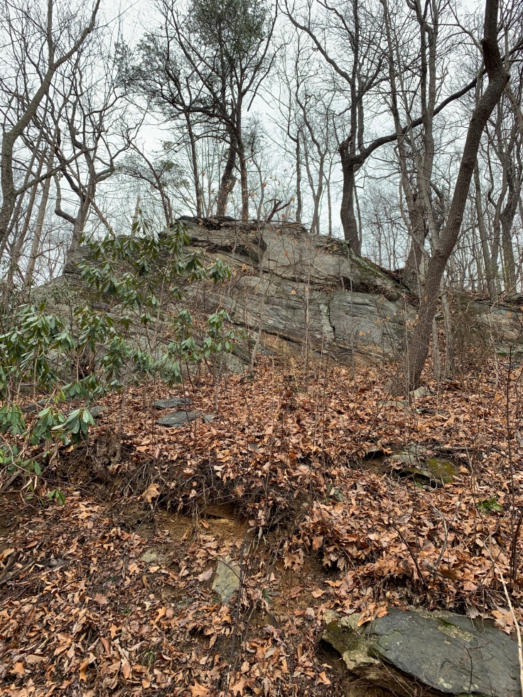
The trail was a steady incline but nothing to steep. Everything was wet but we did not get rained on. After a bit we saw some more rapids. It was a beautiful area. there were some rocky areas around us. This rock looked like a giant bird.


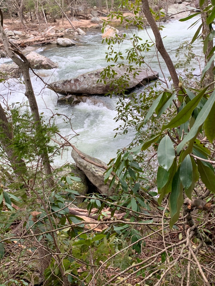
We kept going and after a bit Sherri spotted some kayakers heading down.


Had we been a few minutes slower we would have had front row of them going over the ledge.
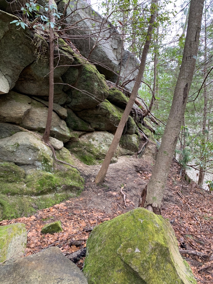
This trail spiraled around the mountain. It was very steep above and below us but the trail kept a slow steady incline as it wrapped around the backside.
We felt some light rain so we put our ponchos on. It really didn’t rain but just Incase.
 After about 3 miles we finally turned onto the next trail

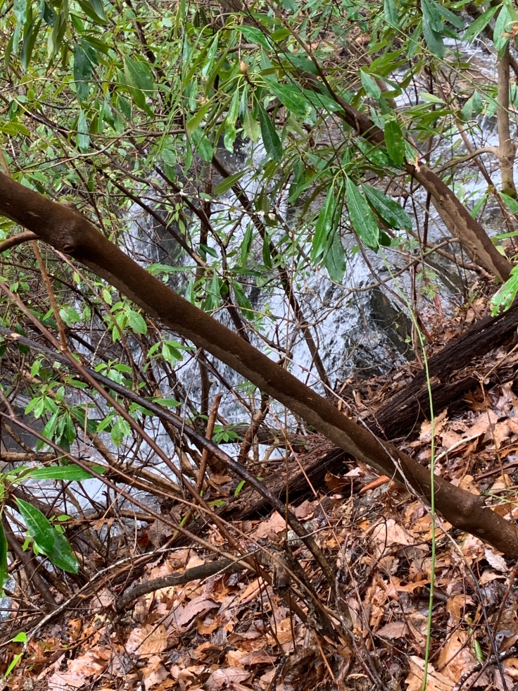
It was Pullman Creek. It’s now following a different creek up. It passed what I was hoping for, the Narrows. This is where they hold the Green River kayak race every November. It’s a narrow part of the Green River with huge boulders. It drops 400 ft in just over a mile! That’s fast whitewater! Class 4 and 5 rapids. Unfortunately we were not close enough to get a great picture but still.

As we walked round the bend Sherri spotted the trail down to the narrows. It looked like it might have switchbacks but it was way down below to the Narrows. That’s a trail for another day!
We walked along Pullman creek. There was one creek crossing we used some downed trees. Sherri is getting so much better st tree walking! 😁

After this we headed up the trail along the creek. There was a waterfall here. I could not find a name for it anywhere. I couldn’t get close enough without some bushwhacking and I just couldn’t swing it knowing this was a 9 mile trip!
Just after this we turned on rock hop trail. It’s called that because there are 2 creek crossing to rock hop over. The first one was a little difficult to find a spot to cross. We did a little bushwhacking through some downed trees to get to a spot where we could walk on the downed trees and cross.

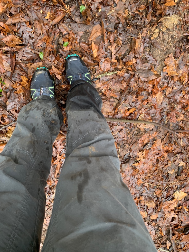
Then after a very short distance you have to hop back across to continue up this trail😡 This is where I got wet!
This trail was short. It ended in a big field. It looked like someone might farm it but idk? There isn’t a road to it? As we headed across the field just before turning on the Long Ridge Trail Sherri spotted some tracks. The first we thought was definitely a bear but the 2nd we weren’t sure. I put it on Facebook and a guess was wolf or coyote. Nick, who is very knowledgeable in all things wilderness said canine. Either dog or coyote. So I’ll go with that. No bear. 🤦♀️


I was tracking with Gaia. For whatever reason some of these trails were not on it. I basically can’t read a map or follow directions 🤔 so Sherri chose that we go to the right. On Gaia this looked very wrong. It was correct. We took it to Bear Branch Trail.

There were deep valleys on the left and steep hills on the right. Next we turned on Long Ridge Trail. This area looked like it had a fire at one time. It was much bearer than the rest.

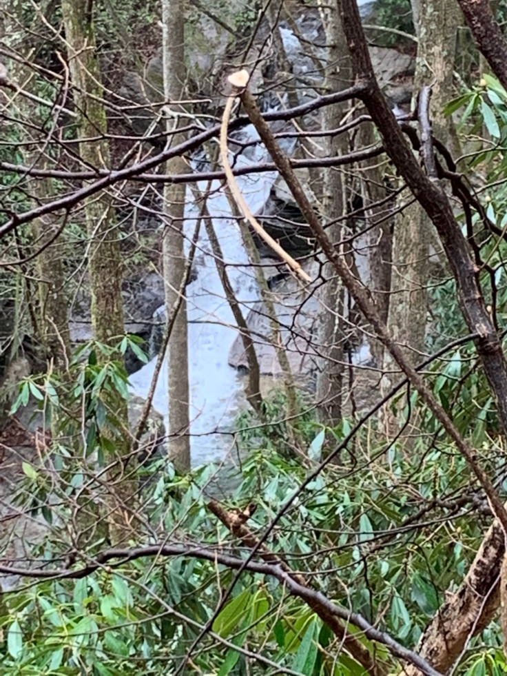
Long Ridge Trail intersects with Stair Step Falls Trail. This is the highest point on the loop. It is basically all down hill from here.

According to what we have read this is where you get views of the gorge and Tryon Peak. It was way to foggy to see anything. This trail goes down hill all the way and circles around at Stair Step Falls. This is a very pretty falls but with out climbing down it’s hard to get a good picture of it.

In the next pic you can see the “stairs” at the top


On the way to here I kept thinking wonder why the directions didn’t send us counter clock wise? I’m thinking it would all be down hill? Well wonder no more. This last two miles only go down. Not many switchbacks so it would be a workout to go up!


We are pretty tired at this point and just trekking along and I happen to look up just in time to see our trail, Turkey Gut going to the right. We really almost missed it. This is the last .85 miles of the trail.

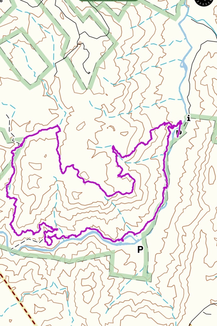
We finally make it to the intersection of Green River Cove trail and we can see the yellow buses at the tubing center! We make a left and it’s a short walk to the car!!! This loop was supposed to be 8.4 miles but Gaia finished at 9.5!
It’s been along time since we did that many miles. This is the Gaia track below.
Time for our reward – Chocolate shake and French fries!

Love reading your posts and seeing the pictures.
You keep on going Roseann. 💚
LikeLike
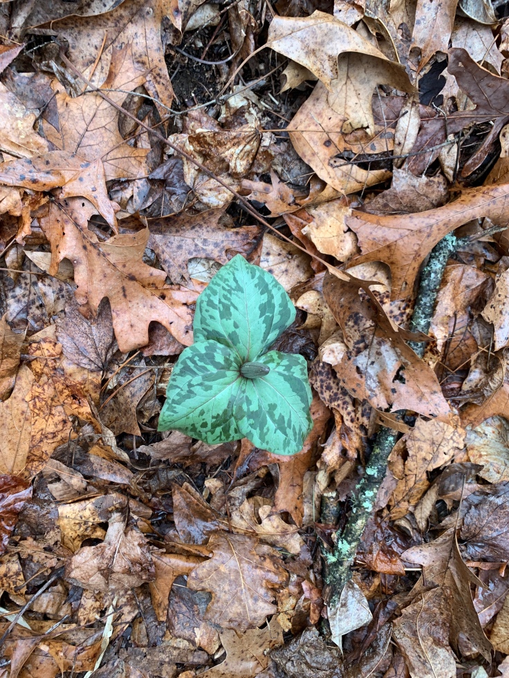
Wonder what the deal was with so many letters off the trail signs? I had WeatherBug and Weather.com both on my old full phone and tried to see which one was more accurate so I could delete one. I ended up keeping WeatherBug. I was surprised to see the trillium ( I think) bud… isn’t it early?
LikeLiked by 1 person
I noticed the missing letters! I would think it was the green river race spectators resting and picking. It’s a hard trek!
LikeLike
What a gorgeous hike! (Found you via Kyle’s/Mayor’s FT blog!)
LikeLiked by 1 person
Thanks! I love his stuff. Read his book. I’m a day hiker with a little backpack experience. Oceanic wilderness – great name!
LikeLike