
Sherri, Mary and I
6/9/18
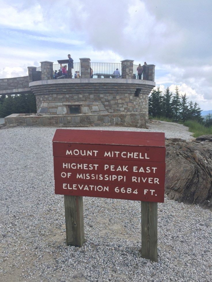
Mt Mitchell is the tallest mountain east of the Mississippi at 6,684 ft. We changed our plans to do a shorter trail from the 12 mile we originally planned on. We ended up parking at the park office and Hiking the Old Mitchell Trail.
 This was not a long trail, it was 4 miles round trip but we added the loop which made it 6 1/2 miles. It was a strenuous trail. The elevation gain in just 2 miles as 975 ft. It was a beautiful hike.

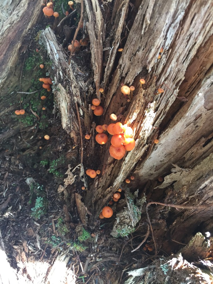
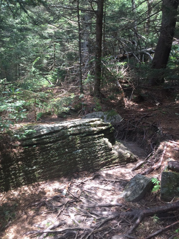
The trail was rocky and full of roots right from the start. It first went up through dark forests of moss-covered trees and rocks. It was by far the best smelling trail I have ever been on. This trail just smelled like Christmas. The whole trail had the smell of christmas trees. There were plenty of them lined up along the trail. This trail was visually as beautiful.

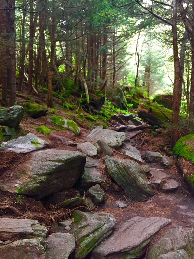
 Downed trees, dead trees, live trees and rocks all covered with green moss and bright green ferns or grass along the trail.

 We climbed the trail up for a for a long time. When you are trying to summit the tallest mountain in the east the up is quite difficult. We kept hiking over rocks and roots and then we reach the park’s restaurant. It has beautiful views from the back of the building.
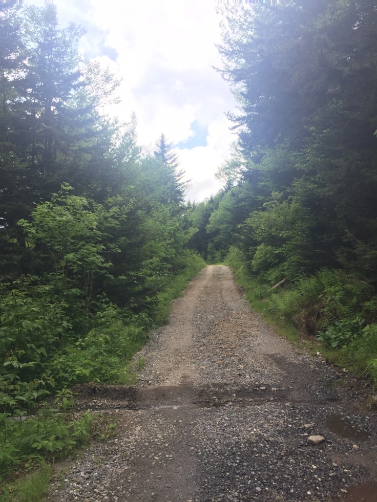
After we pass the restaurant and go into the parking lot we can see the trail next to a building on the right that I readwas employee barracks. We pick up the trail which looks like a little gravel drain and head upward. There are blackberry and raspberry bushes every where. I know because I think they are poison ivy and Sherri says they are blackberries. Problem with this is that they do not produce fruit until July or August. It would be awesome to eat these all the way up the trail! I would eat them till I was sick so I guess I dodged a bullet!
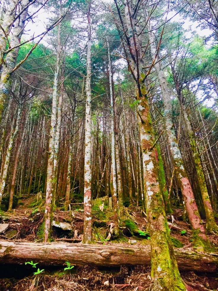
I took this cool pic of some trees
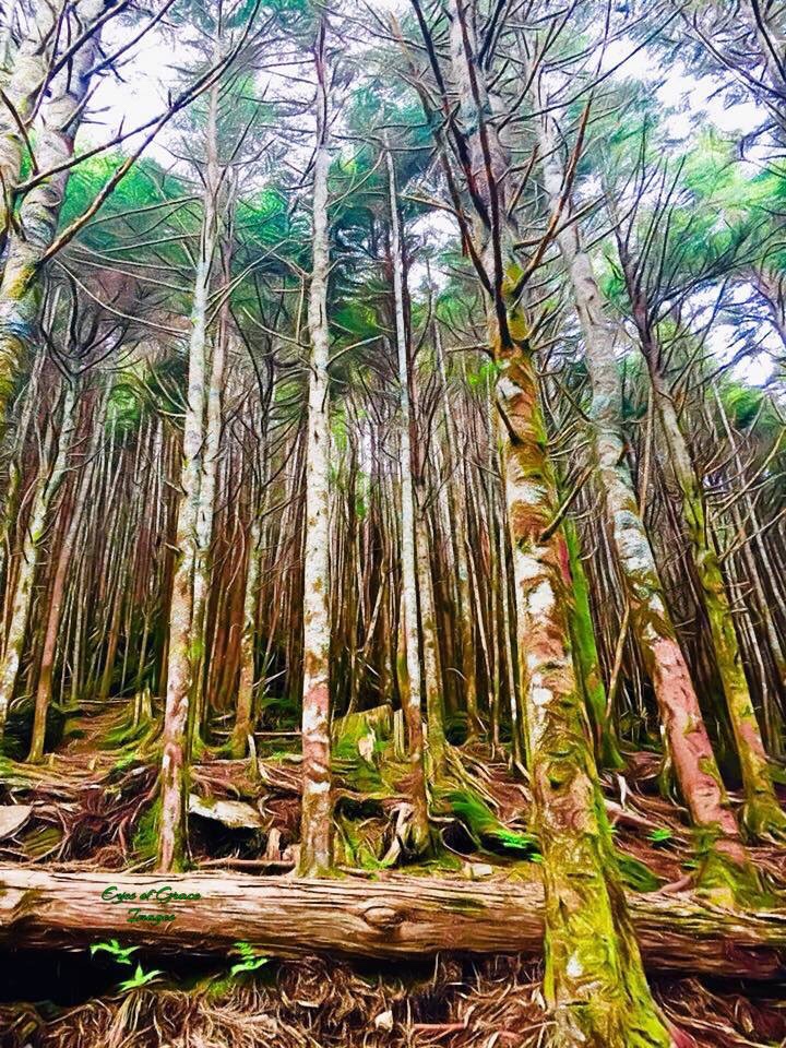
Then Mary put some magic on it :
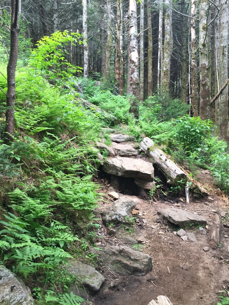
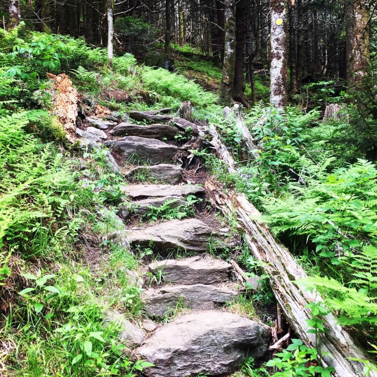
 We are still going uphill and we come to a big green water tank on the left. It has a pipe going right and seems to be way off the road. We cant help but wonder where they get the water and where its going. It just looks odd on the side of the trail. Now the trail starts going down. Weird I know. Why are we going down to get to the summit? We go down for a while. The trail is full of rocks, roots and steps made out of rock and timber. This is a beautiful trail. Every inch of it is visibly beautiful.
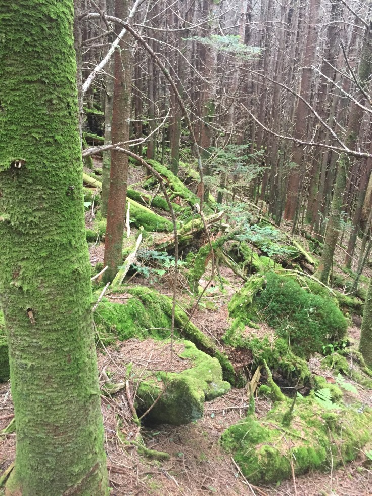
 It changes rapidly from the type of trees, alive or dead, to the color of the grass or ferns to the amount of moss covering everything.
We feel like we are really loosing some elevation. The map said it was a 975 ft elevation gain but never noticed that we would lose a couple hundred feet of elevation then have to climb it again! This is also the rockiest part of the trail. Mary has a rod in her right foot from a car accident. It doesn’t bend like the other. She really has to maneuver some of this area and take her time. Slowly but surely she made it over each obstacle. I like to rock hop and climb rocks so for me its hard to imagine not being able to and how much harder it makes this hike! She conquered it like a champ. It weird here we are climbing up and over rocks and they put this useless bridge right in the middle. Its placed over a place that would be easy to hike! Maybe during the rainy season its worse.
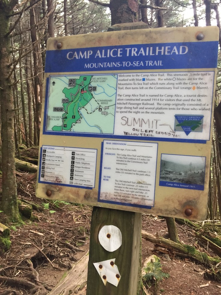
 We wind around to an area where we can see the Camp Alice Trail way below us. It looks like a nice meandering trail that would be much easier than this one! I read its an old logging camp. Right after this the trail starts to climb.

 Some areas are darker than others. It still smells like Christmas. I wish I would have noticed the different types of forests we went through because it felt like we went through a couple.
 The up felt like a very long stretch. I think it was just 3/4 of a mile till we came to a crossroads.
 If we go up then we get to the summit if we go down we go down to Camp Alice Trail. We are going up to the summit which the sign says is like .25 of a mile. Sure doesn’t feel like it because it basically goes up at a 45 degree angle. I was in the front and first to see the summit area. Or at least the walkway with dozens of people going back and forth.
 We haven’t seen many people today and like it that way. We come out on the pavered road and head right to the summit. Last time I was here it was a wooden tower. Its been replaced by a nice ramp and a brick viewing area although not as high as the tower was.
We went to the top and took some pictures in all directions. Two twenty something boys came up and plopped down. They said they did the whole trail from the campground that we were going to take. It took them a little over 4 hours and they said it was very difficult. Maybe next time we will do it. We need to get an earlier start to make it up and back though.


Before I came I read about a man Dr. Elishia Mitchell. Back in 1837 he was working for the University of NC and was the first to measure the height of Mt. Mitchell. Interestingly he came back a couple years later and fell to his death and was buried at the summit. They have built him a nice monument that I guess is supposed to look like a tomb with a plaque with his details on it.
We went down and are sitting on Dr. Mitchells grave eating our lunch and wondering if this was disrespectful. No one else was sitting there? Oh well we ate anyway and this lady comes up and looks at his plaque and we tell her about him. At the end of his name it says D.D. I said I read about him before we came. She was kinda snotty and says it’s right there on the plaque. It says he was a dentist and thank goodness she went away. Well DDS is for dentist so I google it and it stands for Doctor of Divinity. Which makes sense since he was a minister.

The Mt. Mitchell marker is right in front of us and people are taking pics there. We are right behind them so I start trying to photo bomb them. I had my arms up in the air with peace signs. No one was noticing until one guy was there by him self and the guy taking his pic was like “That was Awesome” Busted! He took another for him and probably deleted me.
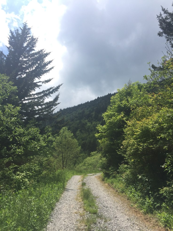
Time to head back down the trail. Since 2/3 of this trail was going up well that means 2/3 of the trail is now going down. Down is not necessarily easier since it kills my knees and toes. But here we go. Now they are many more people going up and down this trail. Maybe 10 tops but that’s 10 more than we seen on the way up. We get to the Camp Alice trail and take it instead to make a longer loop. We head down, down, down, more rocks and roots. There is really nothing flat about this trail. I can hear water flowing for the first time. I just love water on the trail so I’m excited.

 The trail never seems to get to close to it so I say I’ll catch up and take a side trail to find the water source. It looks like it is a waterfall-ish but I can’t get a good picture of it.
 I got back up the trail and caught up with Mary who I guess I snuck up on cause I sure startled her. She didn’t know I went on the side trail. We come to a clearing where the water, Camp Alice trail and the Commissionary trail come together. It’s now a road. Its 1 mile back to the car. We want to still go to Craggy Gardens so we turn here and head up the road to the car. This road goes up gradually all the way to the parking lot. A steep bank on the right and a steep drop on the left.
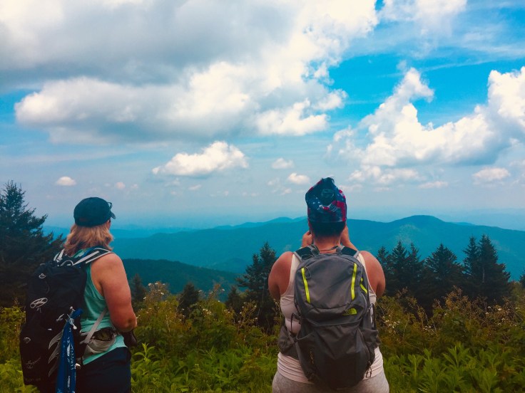

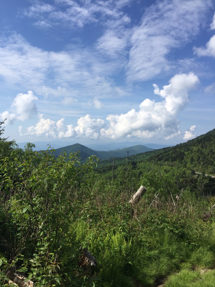
There is not really any views till we are almost done and this one area overlooks to the left. There are quite a few people coming down this road from the parking lot.
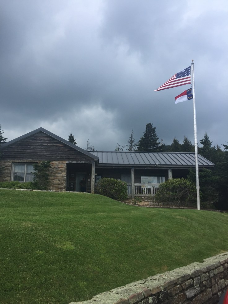
 we got back to the park office and to the car.
 We get to the car and head 12 miles up the Blue Ridge Parkway to Craggy Gardens.
 Sherri and I have never been but Mary has. We can go up to the peak or through the gardens. We decide to go through the gardens. Mary doesn’t go.
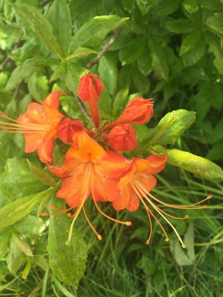
 It about .8 miles to the end where they have built a nice picnic shelter. Then there are little spur trails running in all directions. We take one and see a Rhododendron blooming and a wild azalea and take some pictures. Although its time for everything to be blooming on this trail it really isn’t. It should be awesome because they are everywhere but we are probably a week or so early.

 Sherri and I head back to the car and meet up with Mary. The Blue Ridge Parkway is so beautiful. To get to Craggy Gardens you go through Craggy Tunnel.
 It’s getting late so we get in the car and head home. This was really an awesome hike. Total was 6.7 miles but it felt like more!

Leave a comment