
Sherri and I
3/6/19
There are a few skills you need to be a good safe hiker.
1. How to read a map
2. How to follow directions.
3. All the right tools and equipment.
4. Know your left from your right.
5. Plenty of water.
Well I have hiked over 500 hundred miles in NC SC GA TN and VA last year and I don’t have any of those skills!!! What I do have is friends who do! 🤪. That’s is why I never hike alone. that and the fact that I think I would bore myself.🤔
Wilson’s creek is a expansive, rugged, slightly less traveled area with beautiful waterfalls, creeks and absolutely no Cell Service for 30 miles!

The one time I did hike alone here I was trying to find North Harper Creek falls. I followed the trail to the best of my comprehension but backed out just short of the falls, at least where I thought the falls was! I was wrong. I wasn’t heading to the falls.
So this time Sherri and I were going to find 2 falls. Bard Falls and N Harper creek Falls. The easy way. They are both on the same trail at two different ends.
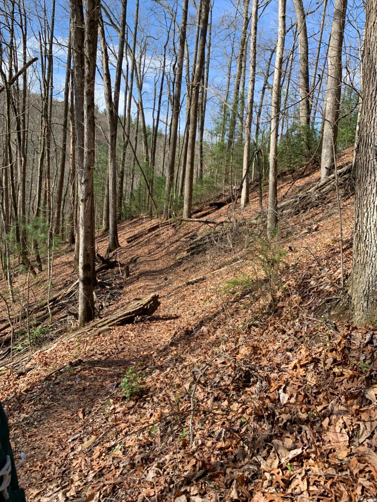
We drove up a 1 and 1/2 lane dirt road with sheer drops. We headed to the Bard Falls Trail Head. Parked and headed down the trail. This was a pretty easy hike that just gradually went down hill.
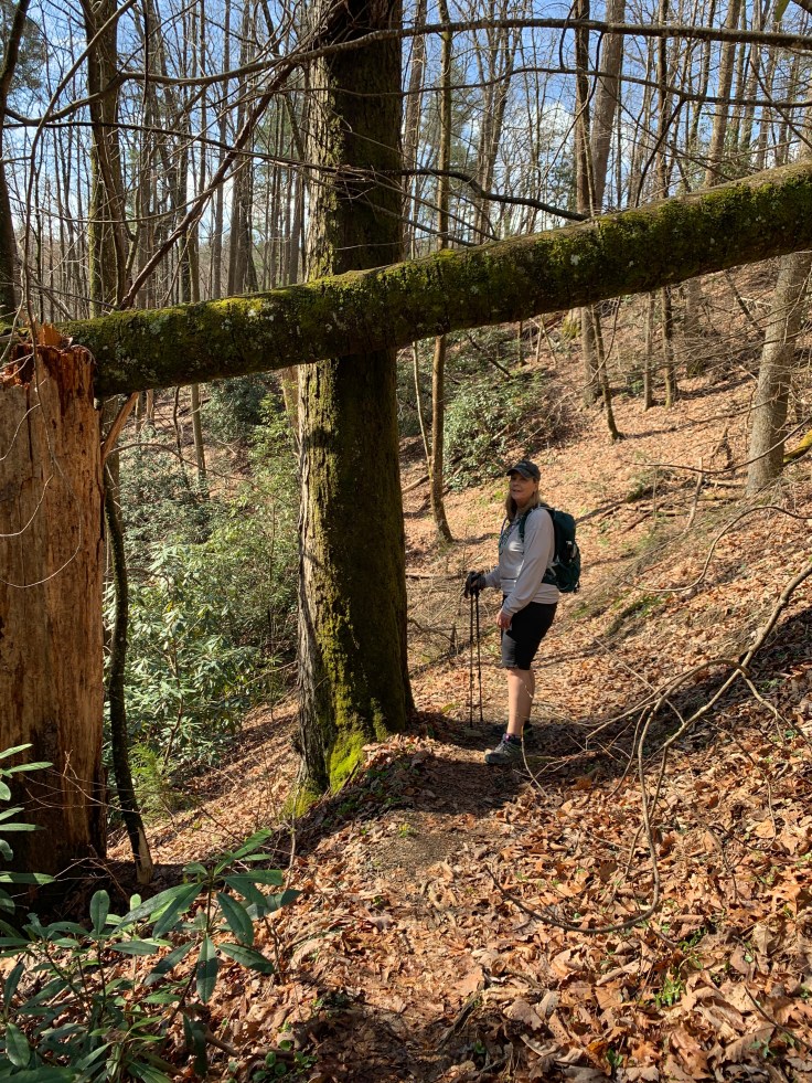
This area is really beautiful. The leaves are just starting to break out so we can see through everywhere.
We follow the first trail down to where it connect to the North Harper Creek trail and go left and a nice camp spot.
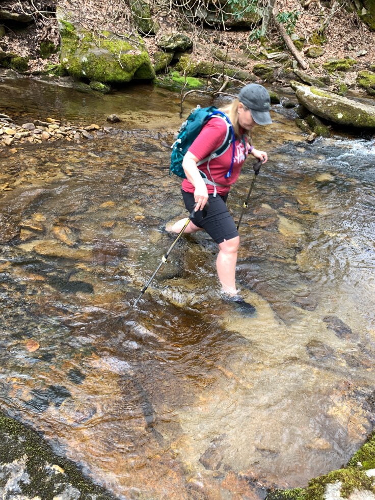
 There are a few creek crossings and not the kind you can stay dry. We just plow through not worrying about wet feet.

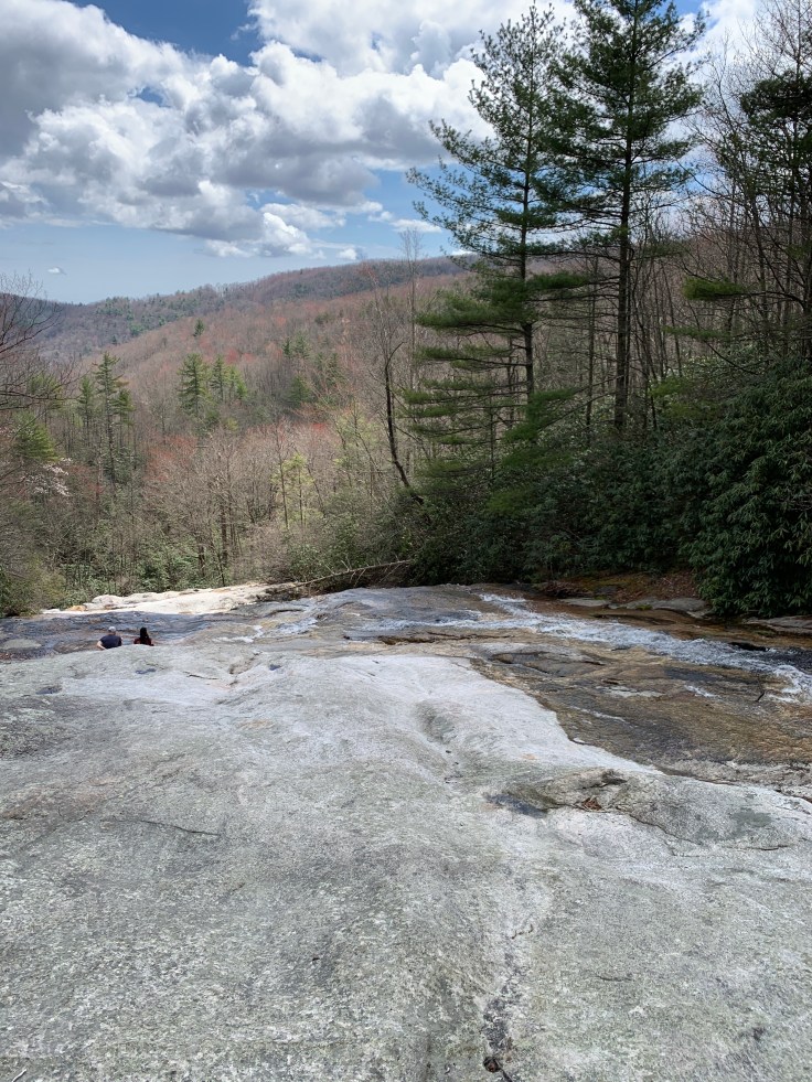
It follows the creek right down to the falls. There are some pretty cascades but they are hard to see and to much trouble to get down to.

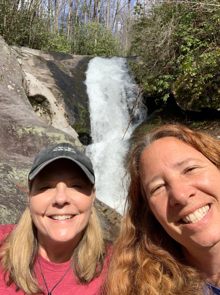
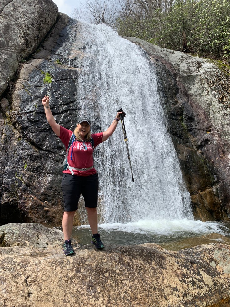
Then we are at the falls. With a short wet climb down here we are.
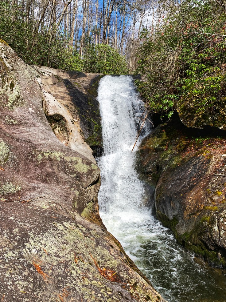
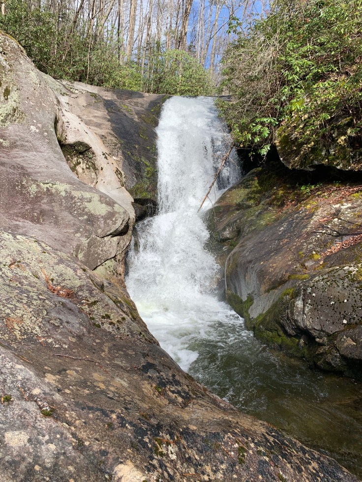
It’s a beauty. It has big pot holes on the side and a nice swimming hole at the bottom. We sit here and eat lunch and listen to the water.
We could have taken the North Harper Creek trail from N Harper Falls to here but decided to do two hikes instead. So we head back to the car.

We drive back to FR58 because according to the map this is a shorter route to the falls.
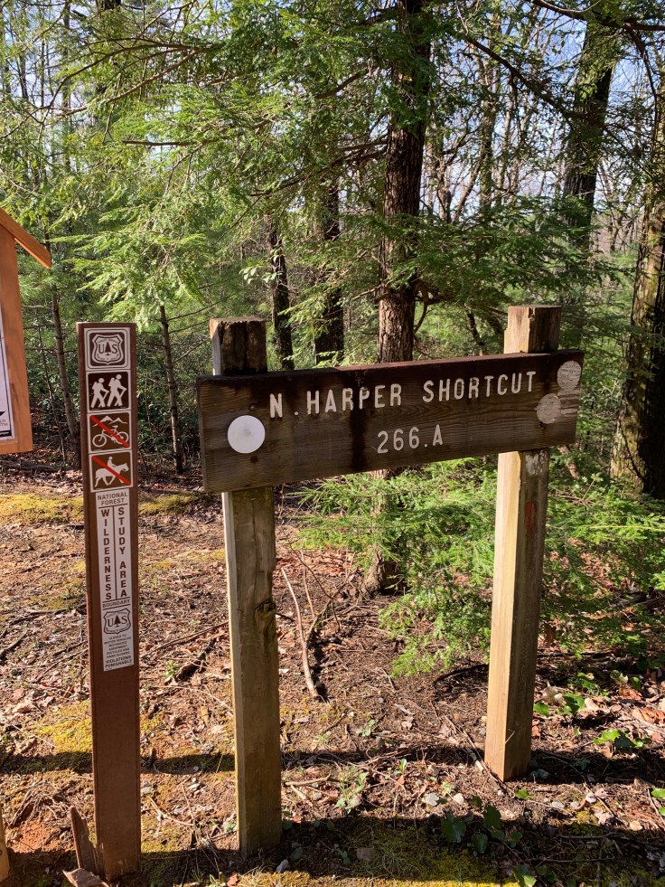
FR58 is one of the few side roads in this area. Just down it is 266A North Harper Creek Trail.

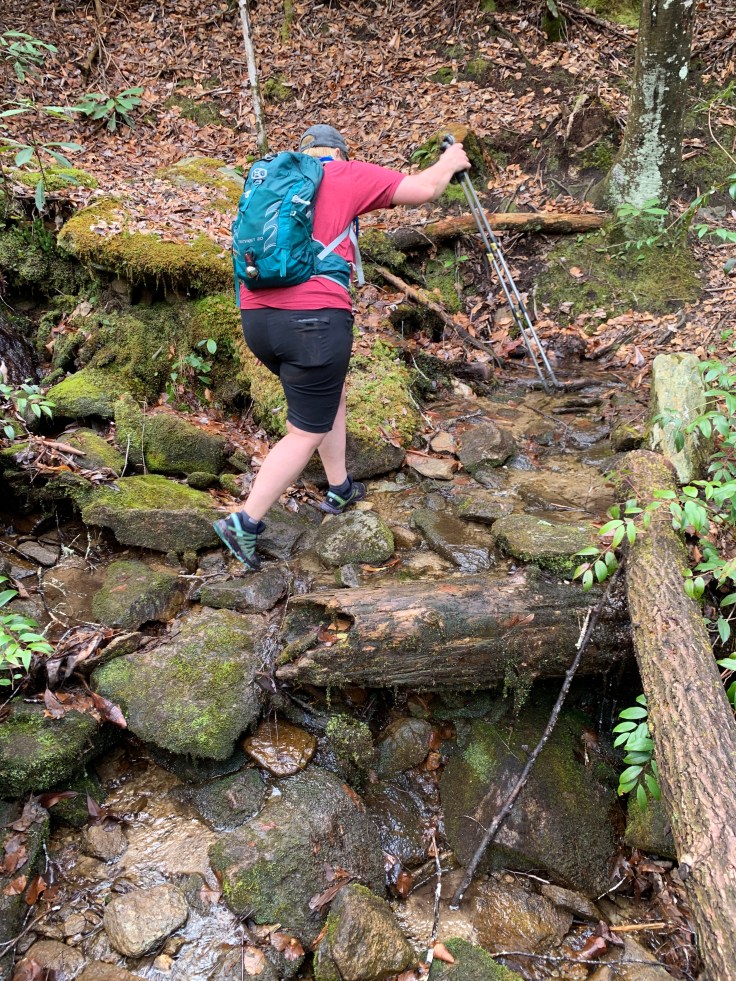
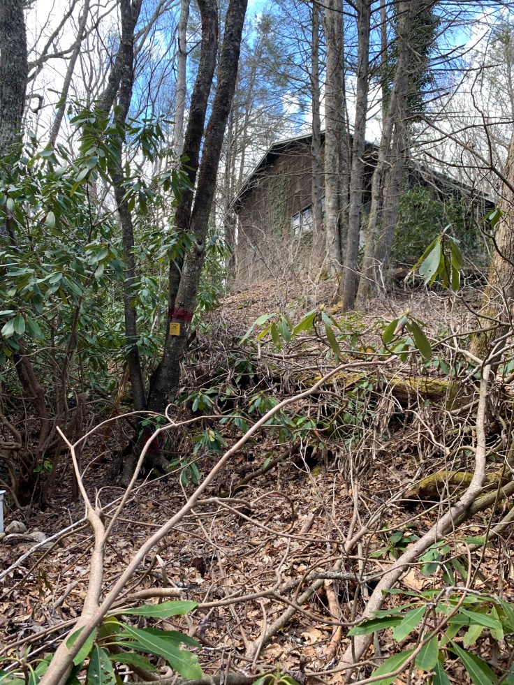
It goes down a nice trail and comes to an old abandoned house right on the creek. It’s a little creepy because there aren’t many out here and we guess one of the gated roads must go to it. Why someone would just let it sit is beyond me! We immediately do our first creek crossing here.
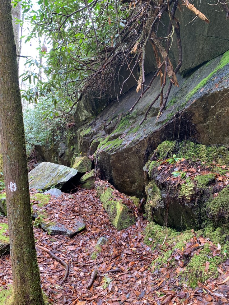
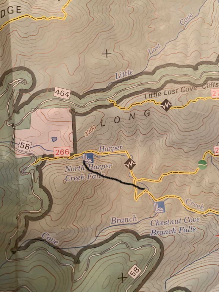
This way to the falls is a little harder than the other trailhead. It’s wetter, more rocky and less traveled. We hike just about a mile along the creek and get to where I lost the falls the last time. I check the map and think maybe we missed a side trail? I said just across this creek crossing is the cascades and we head over there. There is a couple there and I ask them where the falls is. They don’t know but mention there is a blue mark across the cascades. We turn around and go look for the trail we missed. After a bit we stop and break out the map. We clearly should be at the falls. The map is wrong!!! I drew a line to where it actually is. 🤦♀️
 Sherri checks it this time and decides we need to go back to the cascades and cross. She thinks the falls is probably at the end of the cascades so back we go. I jump the cascade to the other side but she isn’t comfortable with it. I say I’m going that way and I’ll be right back don’t cross with out me!

I go about a half mile and the trail goes away from the river and I think damn this is wrong again! Then it switchbacks to the left and goes straight down! Yay this is it. It’s at the end of those cascades! She was right. I go down there and there are some Boy Scouts setting up camp right at the falls. I grab a couple pics and head back up the trail to where I left Sherri.

Here she comes down the switchback. She found a way to cross a little up stream. We head back down. It’s a good one. The Boy Scouts are hanging out. The troop leader convinces one kid to get in there. Brrr! but he does. There is a small area at the base and he can’t seem touch the bottom.
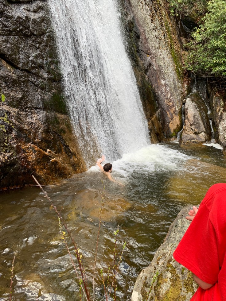
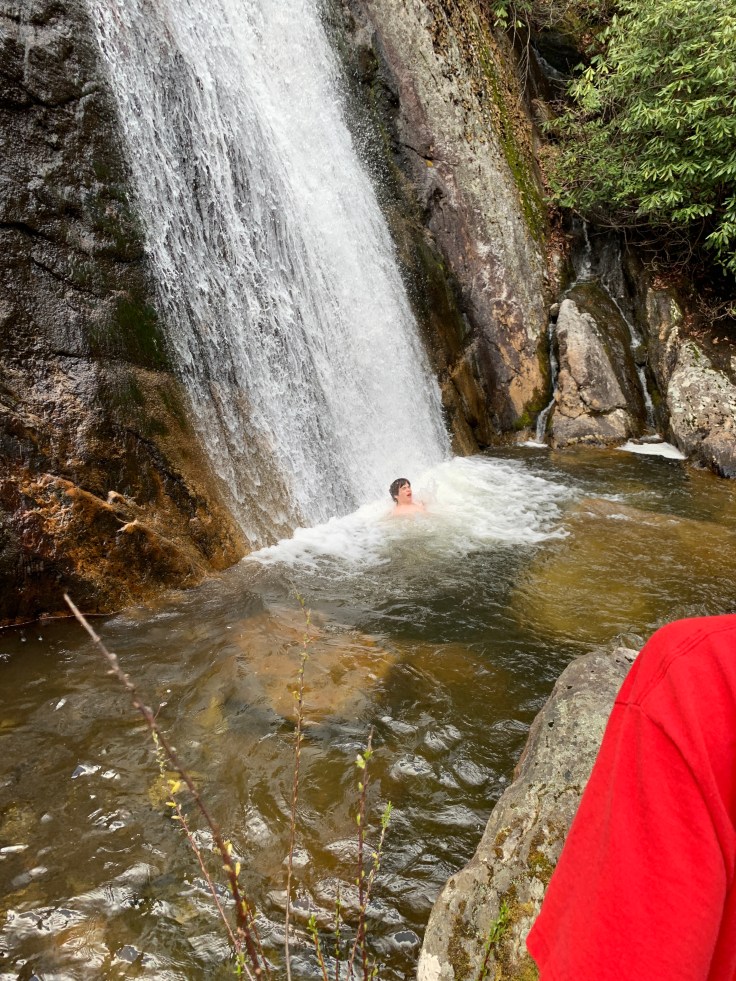
But it’s easy to get back to the rocks. Sherri and I got some pictures down there too.
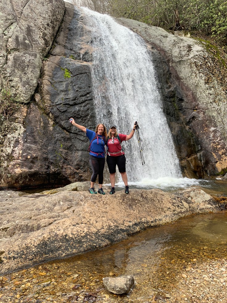
Well finally found it thanks to Sherri. It’s a beauty. We headed back the short walk to the car. My directionally challenged-itis must of rubbed off on her because she drove straight down 58 till it said no trespassing and we ended up a redneck drive by area. 🤪
We turned around and after 45 min out of the way we were on our way home!

Looks like a great Adventure!!
LikeLiked by 1 person